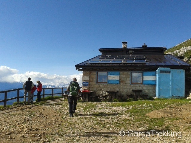
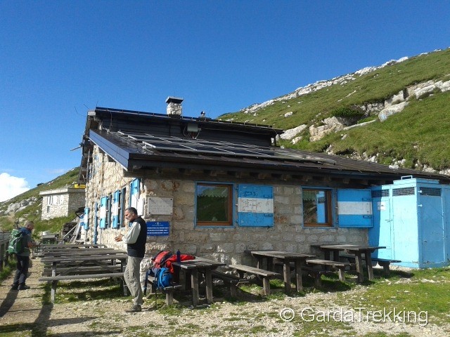
Rifugio Marchetti – Mount Stivo
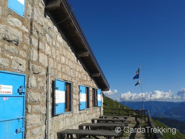
The Hut 'Rifugio' Marchetti is located on the Stivo mountain at 2000 mt altitude and has a 360° panoramic view point of Lake Garda and the mountain tops.
Starting point
S.Antonio village near Passo Santa Barbara located on the way between Arco and Valley Gresta (TN)
End point
S.Antonio
On the way
S.Antonio (1220mt), Le Prese (1480mt), Malga Stivo (1750mt), Rifugio Marchetti (2000mt) – Monte Stivo (2069mt)
Access to the starting point
By car : Coordinates N 45.900131, E 10.945744 (45°54'00.5"N 10°56'44.7"E)
From the A22 highway choose exit Rovereto Sud and follow the directions for Lake Garda. As soon as you reach Loppio, turn to the right and follow the signs for Ronzo-Chienis then turn left and follow the directions for Passo Santa Barbara. When you reach Santa Barbara, turn right for the Sant Antonio village.
From Arco (TN) follow the directions for Bolognano. As soon as you reach the church follow the directions for Passo Santa Barbara – Monte Stivo. When you reach Santa Barbara, turn left for the Saint Antonio village.
Parking area
S.Antonio village near Passo Santa Barbara
Trail description
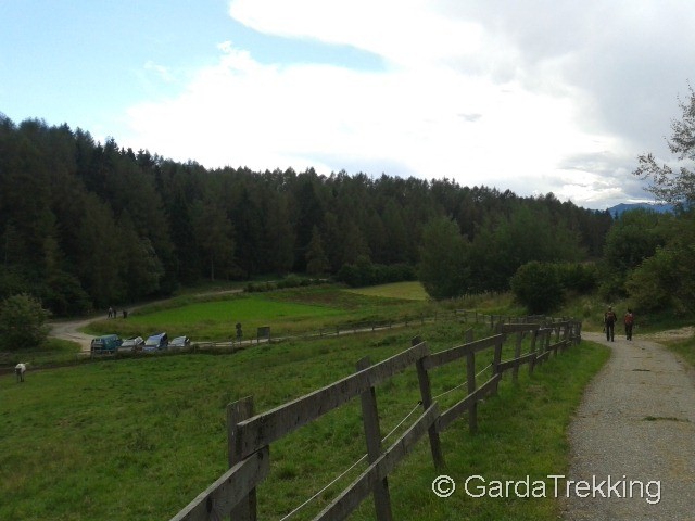
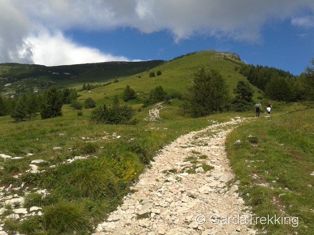
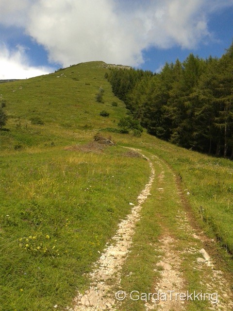
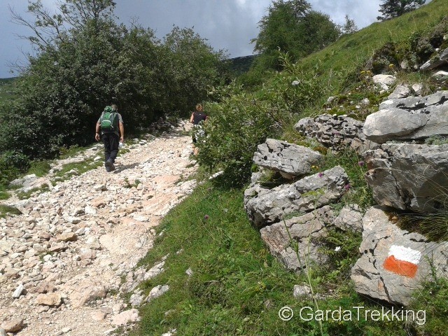
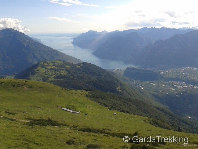
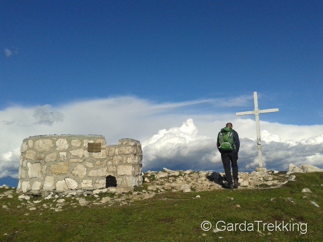
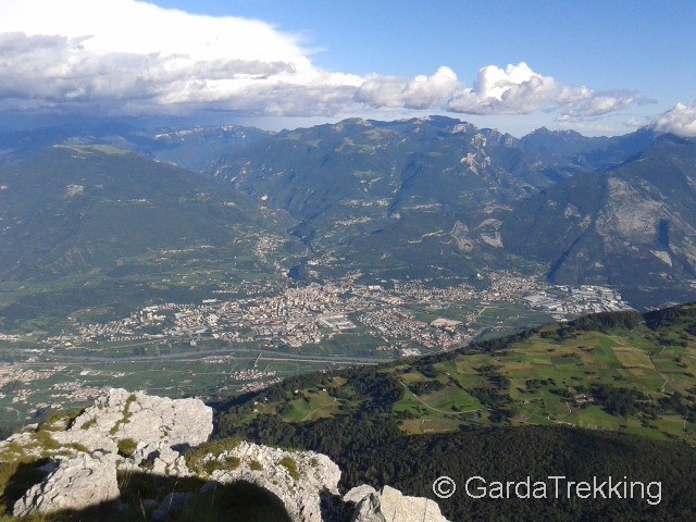
The trail starts from the Saint Antonio village and for the first part it follows a paved road that connects to the 608B path. The road starts to rise into the woods and after 10 minutes you reach the location called 'Le Prese'. You are just at the bottom of the mountain and you can see the green fields where cows and horses graze. A few meters more and you will see a beautiful landscape, with Lake Garda in the southern direction and the other mountains all around. The path starts to rise and following the direction 608 you reach 'Malga Stivo' before and then the Marchetti Hut on the Stivo mountain at 2000 meters altitude. The Hut is usually opened during the weekends (please contact the hut owner at +39 0464 520664 or +39 347 7221324 for info); here you can find very good local dishes and drinks and eat with a unique view of part of the Trentino mountains. Five minutes away from the hut, you can reach the top of the mountain and see the Brenta mountain, the Adamello and the valley of the Sarca river and River Adige. The return is along the same path toward Saint Antonio.


Comments
Bel percorso adatto a tutti,molto panoramico...unica pecca il rifugio è 1 anno e mezzo che è chiuso!