Hiking trail from Pregasina to Passo Rocchetta
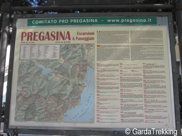
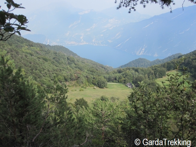
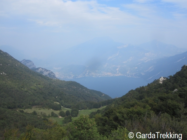
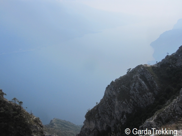
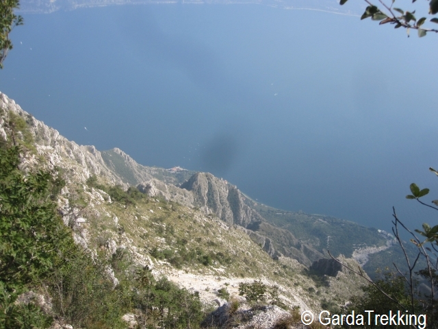
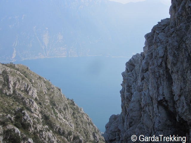
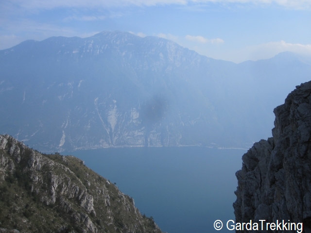
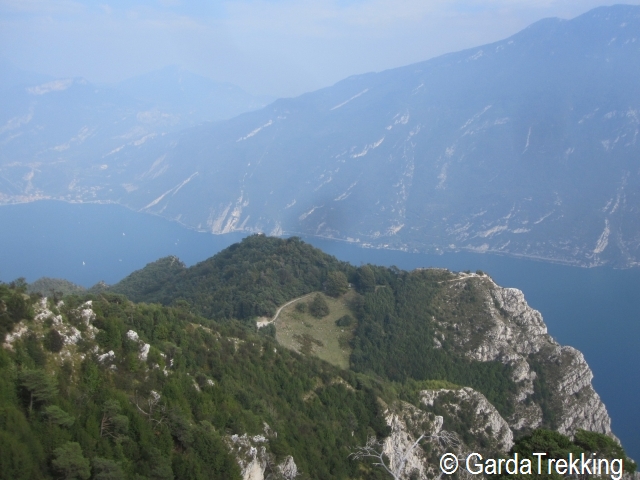
From the small town of Pregasina, five chilometers far away from Riva del Garda, the hiking path n°422B starts in direction of Passo Rocchetta. Along the trail there are several panoramic view points on Lake Garda.
Starting Point
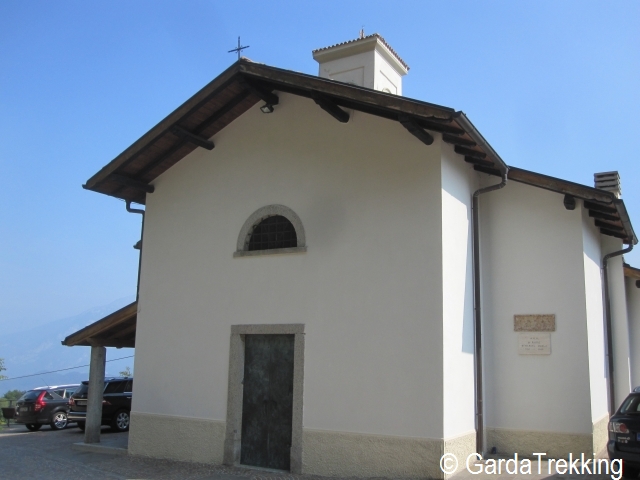
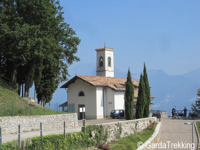
Pregasina (small town of Riva del Garda (TN) ), Church
End point
Pregasina, Church.
On the way
Pregasina (535mt) – Malga Palaer (950mt) – Passo Rocchetta (1160mt) – Bocca Larici (910mt) – Pregasina (535mt)
Access to the starting point
By car : From the A22 highway choose exit Rovereto Sud and follow the directions for Riva del Garda; in Riva del Garda follow the directions for the Ledro valley, at the end of the second tunnel turn left following the directions for Pregasina; follow the paved road until you reach the town and the parking area nearby the church
Bus : From Riva del Garda bus to Pregasina
Parking area
Pregasina – Riva del Garda (TN), parking area nearby the church
Trail Description
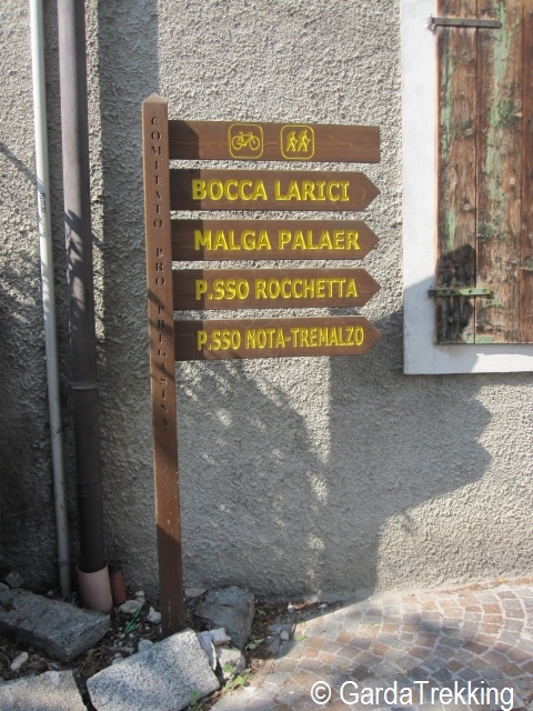
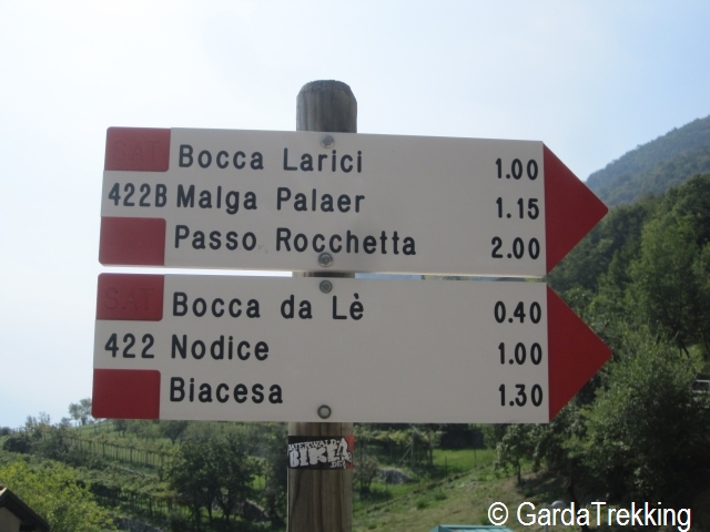
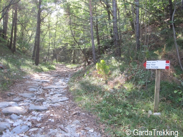
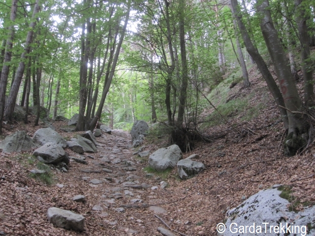
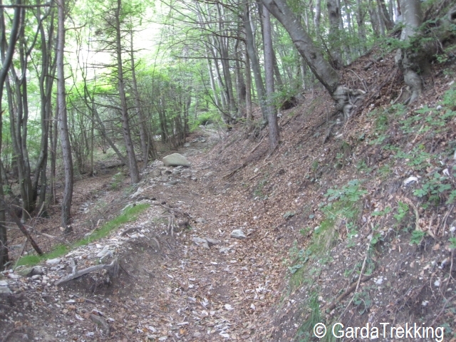
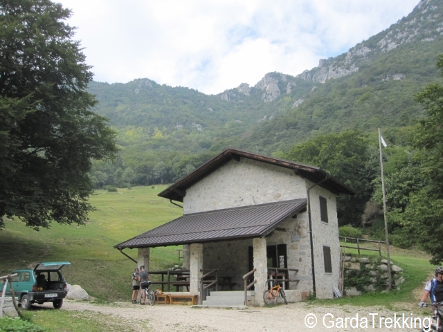
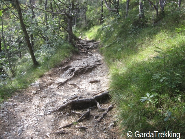
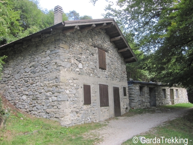
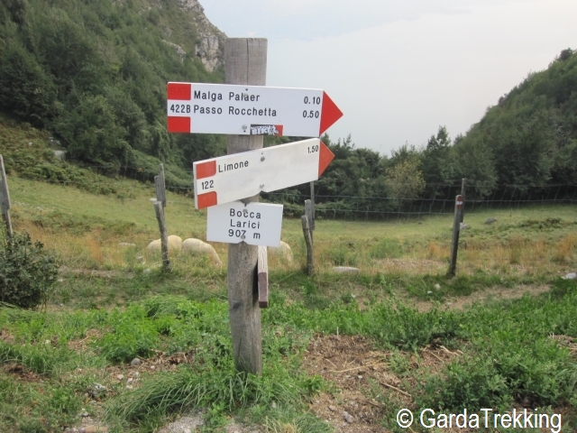
Starting point of this trail is the church of St.George in Pregasina built in 1633 and from which you can admire a beautiful view of Lake Garda and the sorrounding mountains. From the church follow the signs that indicate the directions for Passo Rocchetta along the path number 422B. The elevation gain from Pregasina to Passo Rocchetta is 600 meters and it takes 2 hours. The first section of the trail is partly cemented and crossed by bikers then the path enter into the woods. After one and a half hours, you reach Malga Palaer at 950 meters and here it is necessary to take the left path through the fields to the south direction. The trail is hard in the first part and then it becomes easier and from some view points it is possible to see Lake Garda. In about half an hour you get to Passo Rocchetta at 1160 meters and from here you have a beautiful view on the lake. Passo Rocchetta, famous place in this area, is a junction point of different trails coming from Pregasina, Biacesa, Bocca Larici, Passo Guil; from here you can reach in few hours Limone, Tremalzo and the Ledro valley. After a brake, continue along the ridge following the directions of the path 130 called 'Senter de le creste de Reamol', in about half an hour you reach Bocca Larici. It is necessary to pay attention to some slippery points, always following the path, walking outside the path could be too dangerous. The trail is well indicated and there are several panoramic view point on the lake. From Bocca Larici you follow the path towards Pregasina and return to the starting point of the trail.


Comments
bravi, ottima testimonianza con bellissime foto panoramiche per questa avventura sul garda trentino